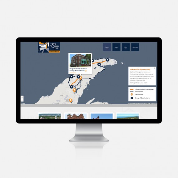
Maps are a great way to visually highlight the location of your customers, products, or services in an impactful, visual way. We'll determine the best map approach to display your data and then design and develop a beautiful and intuitive interface to "wrap" it in.

Pinpoint your Trails
Rock Solid builds world-class mountain bike trails for all ages. Their custom google map highlights the states where trails exist and uses icons to pinpoint their exact location. Website visitors can view trail details directly from the map or by using the trail 'cards' found underneath.

Illuminate your internet availability
Constant phone calls asking about internet service prompted up.net's request for a dynamic map that shows exactly where their three types of internet—fiber, DSL, and LTE—are located. We also added a list of frequently asked questions next to the map to cover all the bases.

Describe your Destinations
AEI offers continuing education at over 40 beautiful destinations. This custom google map is the heart of their website and uses intuitive icons to make it clear which destinations offer sun or ski activities. The matching filter icons and photo-driven 'cards' ensure a seamless experience.

Promote your properties
M Group has a large portfolio of properties located across the country. This map-based approach to highlighting the properties uses differing icons, clusters, and colors. Clicking on an icon opens a property details page with content and photos, with the full map always just a click away.

Show your services
One of the greatest challenges for Jamadots is to clearly communicate which services are available where, and at what price. Now all that is needed is their address and we handle the rest—a full outline of the services available for your specific location is presented in an easy-to-understand interface.

Demonstrate your projects
Our custom backend makes it easy for our clients to add new projects automatically to the map. Filters help users narrow down the results, and the photo 'cards' under the map provide another method of seeing the projects. The individual project pages feature text, photos, and links to more information.

Share your work
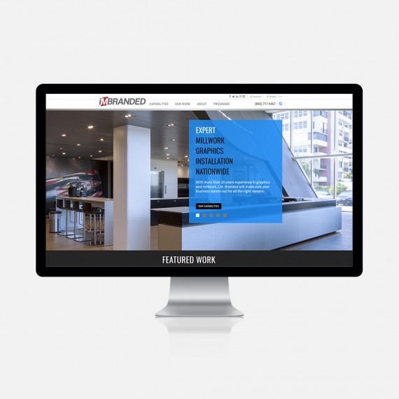
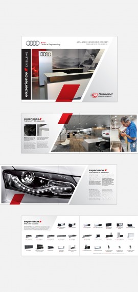
IM Branded's project examples are highlighted on a nationwide map custom designed and built by Lauren and our development team. The blue featured location icons allow users to easily visit the project pages with additional photos and full details on specific high-level projects, while showcasing the work conducted across the country.

Encourage Outdoor Exploration
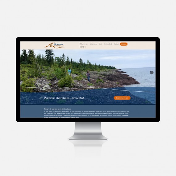
Keweenaw Land Trust's map differentiates between their property types—ensuring that private lands stay private and public lands are easily found—by sharing their location, activites/amenities, highlights, maps, and photos. The filter allows for easy searches and additional details are provided in the 'cards' that follow.

Ramp up your research
Web visitors get a unique perspective of the research conducted at Michigan Tech through the integrated tagging system and location-based content system developed by our development team. The hotspots reveal related content and photos, while the topic tags filter the maps' results, making it easy to find the research most interesting to you.


